StateFace Cartogram Resource
-
StateFace Cartogram Resource adventuresinmapping.com
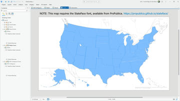
Here’s an ArcGIS Pro project where the StateFace font (remember that?! thank you ProPublica!) is used as a point feature, centered over each state, and given a scale multiplier to set its actual-scale baseline. This means you can add a data-driven scale multiplier to make a…
Sign in with your torc.art membership to vote and to talk. Membership starts free.